

The shannon basin course
CONTENT
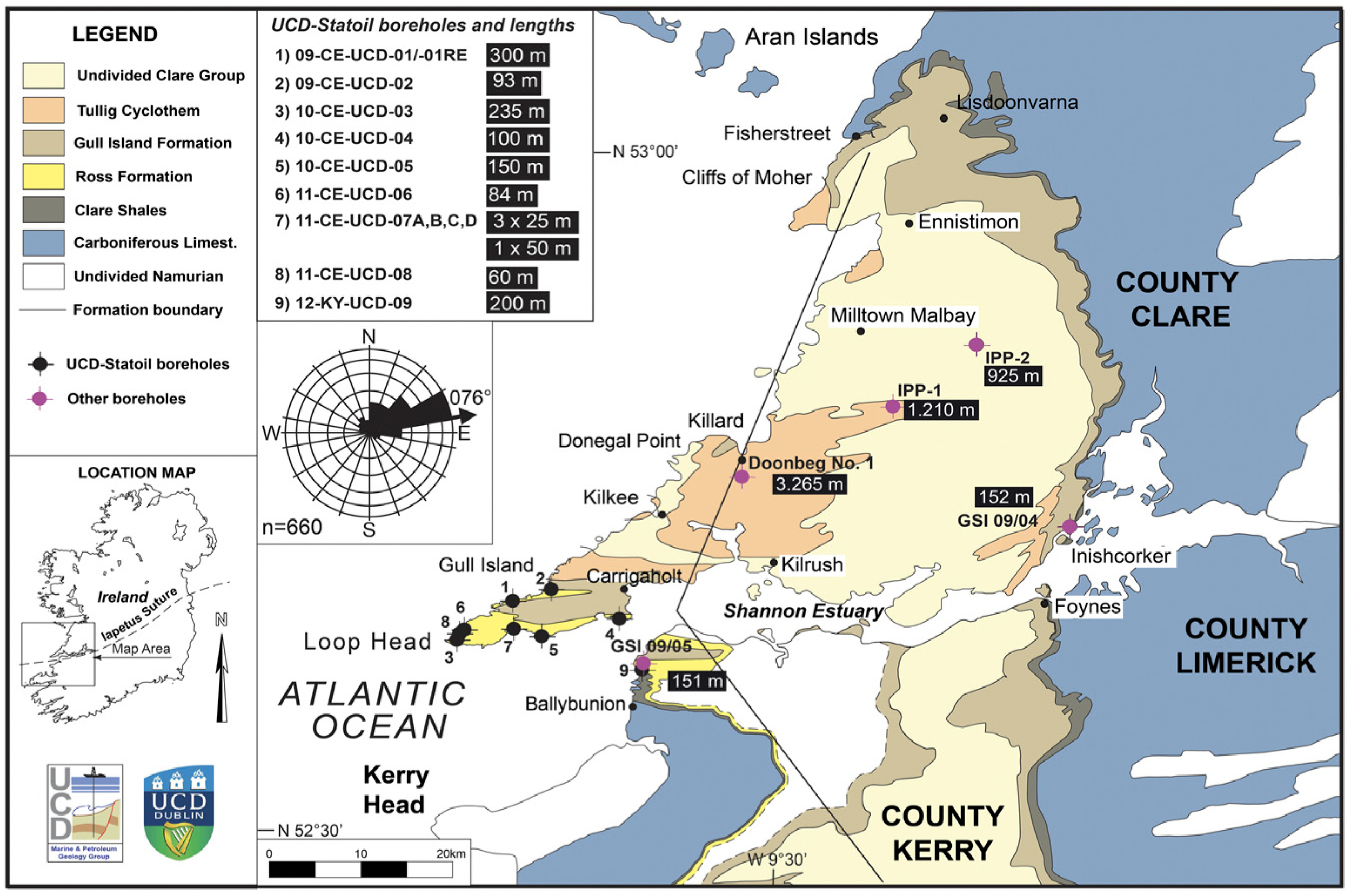
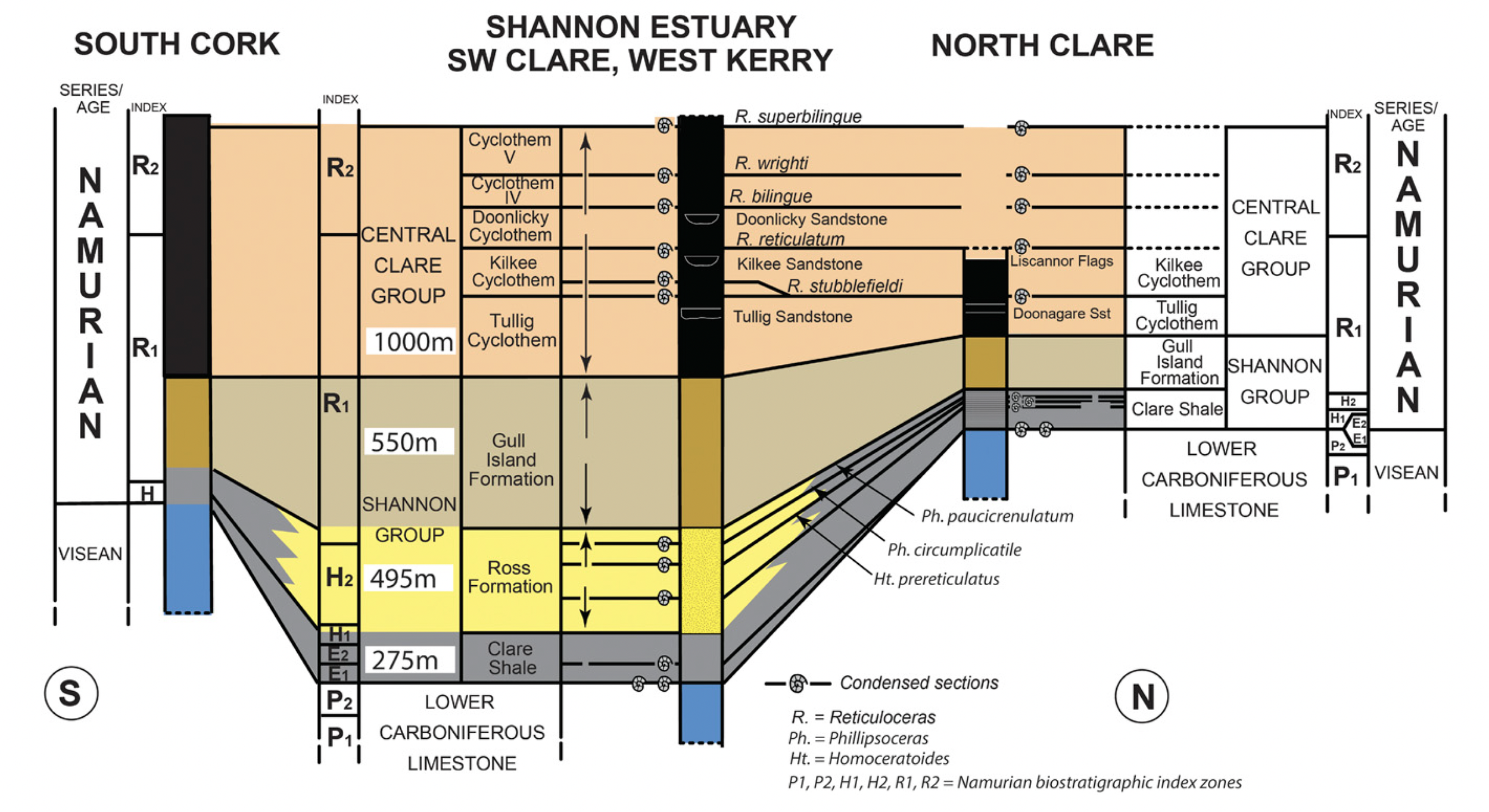
This course focuses on integrated and interdisciplinary outcrop and live 3D seismic analysis in worldwide clastic deepwater basins using world-class, seismic scale coastal cliff outcrops complemented by behind-the-outcrop wells in the Shannon Basin in County Clare and County Kerry, Ireland. The basin fill is 2200 m thick and forms a shallowing up succession on the scale of and similar io many prospective continental margin basins, not least those on North and South Atlantic margins. The basin fill includes at the base a source rock overlain by deepwater clastics followed by a slope succession and capped by shelf-edge and deltaic sediments incised by fluvial valley-fill sandstones. It is therefore well suited for both detailed and basin-scale studies for application in exploration and production. Seismic stratigraphic, sequence stratigraphic and source-to-sink (S2S) techniques are used to analyze the seismic and outcrop data sets.target groups
The course is relevant for exploration and production geologists, geophysicists, petrophysicists, reservoir engineers and their multidisciplinary teams. While specific detail will be discussed on the geology and the subsurface application, the focus will be on the total subsurface case, relevance for the total business case and exploration strategy. Depending on who participates, the content and discussion can be adjusted. The course is also relevant for management teams including executives and non-geologists who want to use the world-class outcrop setting as a backdrop for strategic discussion or simply learn more about subsurface geology. In these cases, the technical content is tuned to the level of expertise and issues discussed center around risk and reward of exploration. DURATION
5 days
maximum number of participants
14
instructors
Ole J. MartinsenHenry W. Posamentier
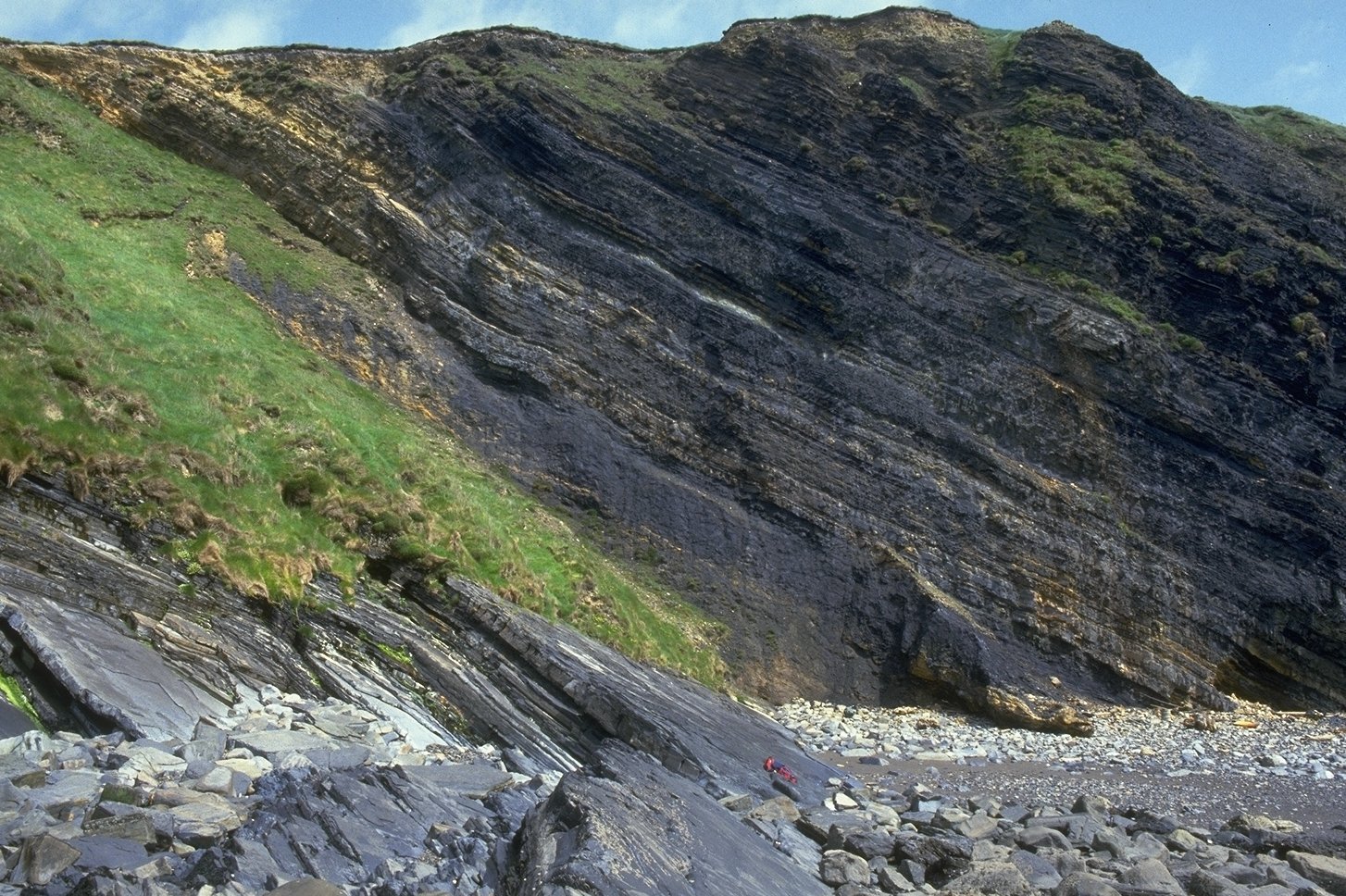
The deepwater Clare Shales source rock exposed at Ballybunion, Co. Kerry. It sits conformably above the Carboniferous Limestone, which was deposited in a ramp/slope setting.
The deepwater Ross Sandstone exposed at Loop Head. In this medial-distal fan setting it is dominated by sheet packages.
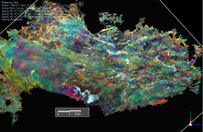
Seismic data are used extensively to make the link between outcrop observations and subsurface interpretation.
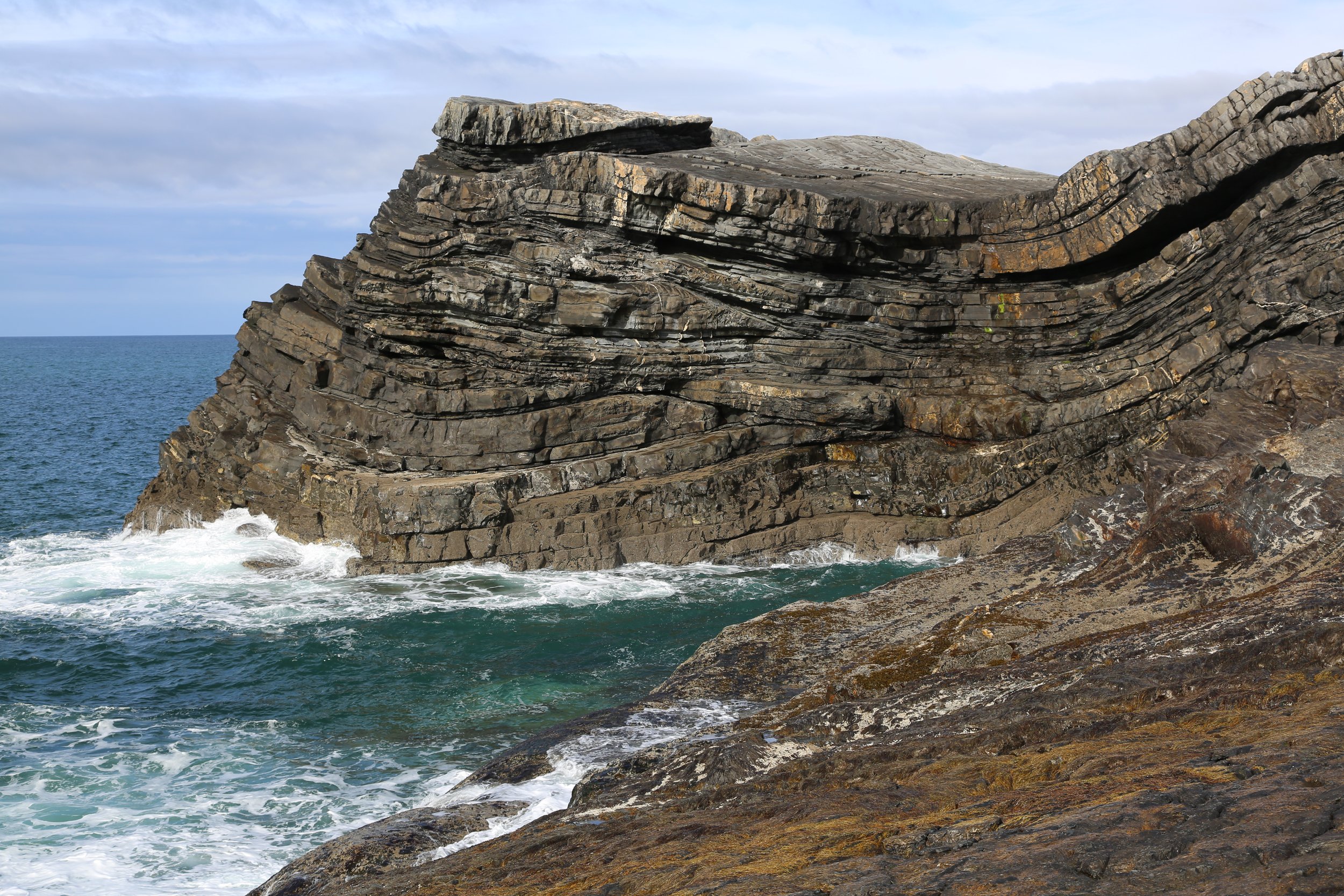
The uppermost part of the Ross Sandstone exposed near Bridges of Ross, County Clare. Note the channel cuts.
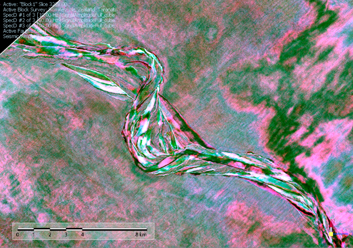
Sessions viewing and interpreting seismic data are combined with analog observations of outcrop geology in an interdisciplinary approach.
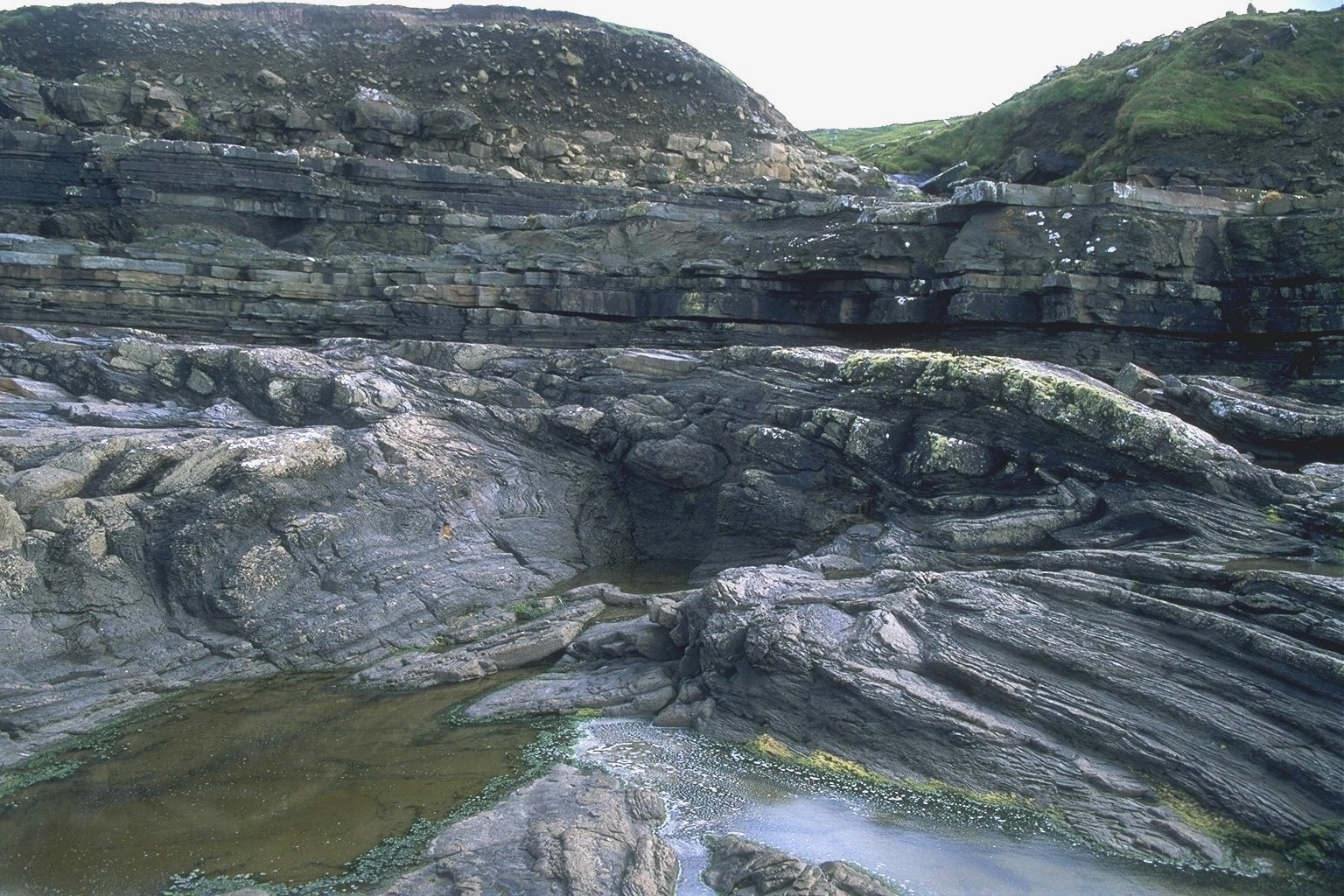
The Gull island Formation slope succession exposed at Fisherstreet, north County Clare. The folded sediments in the front are part of the Fisherstreet Slide, a major mass-transport complex and overlain by an undeformed package of sheet turbidites captured on the of the MTD.
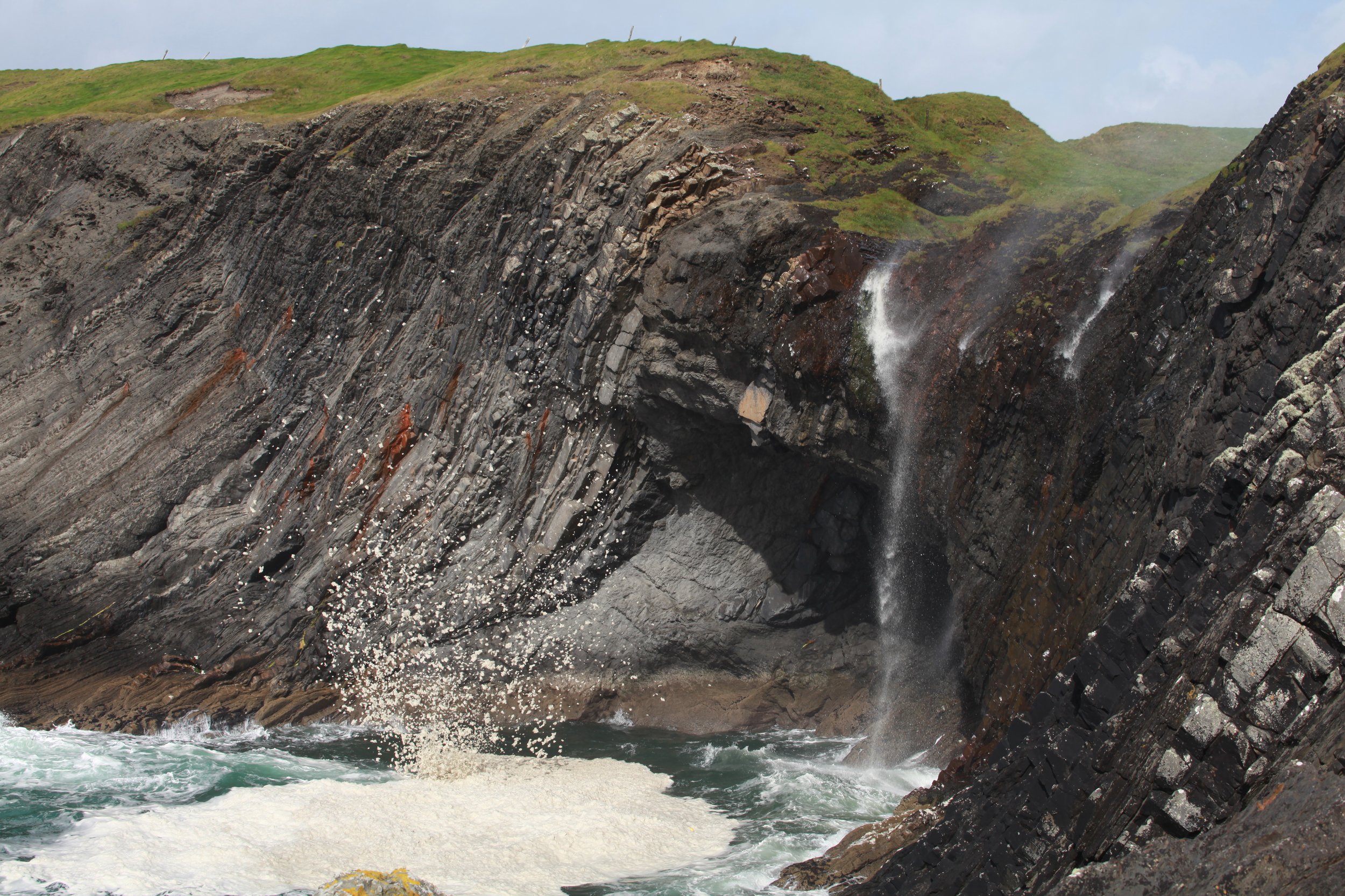
A deep water slope channel-margin levee package in the Gull Island Formation exposed at Dirty Waterfall, near Gull island, County Clare.
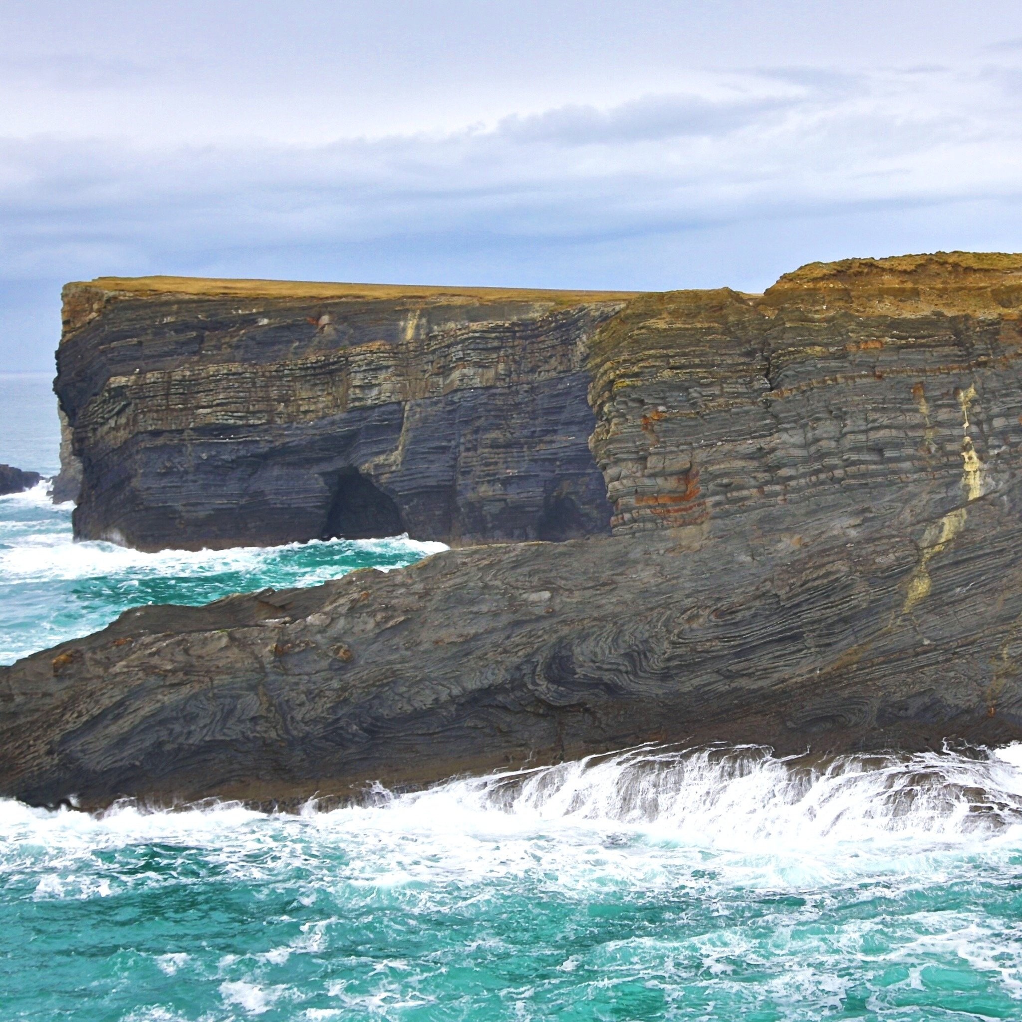
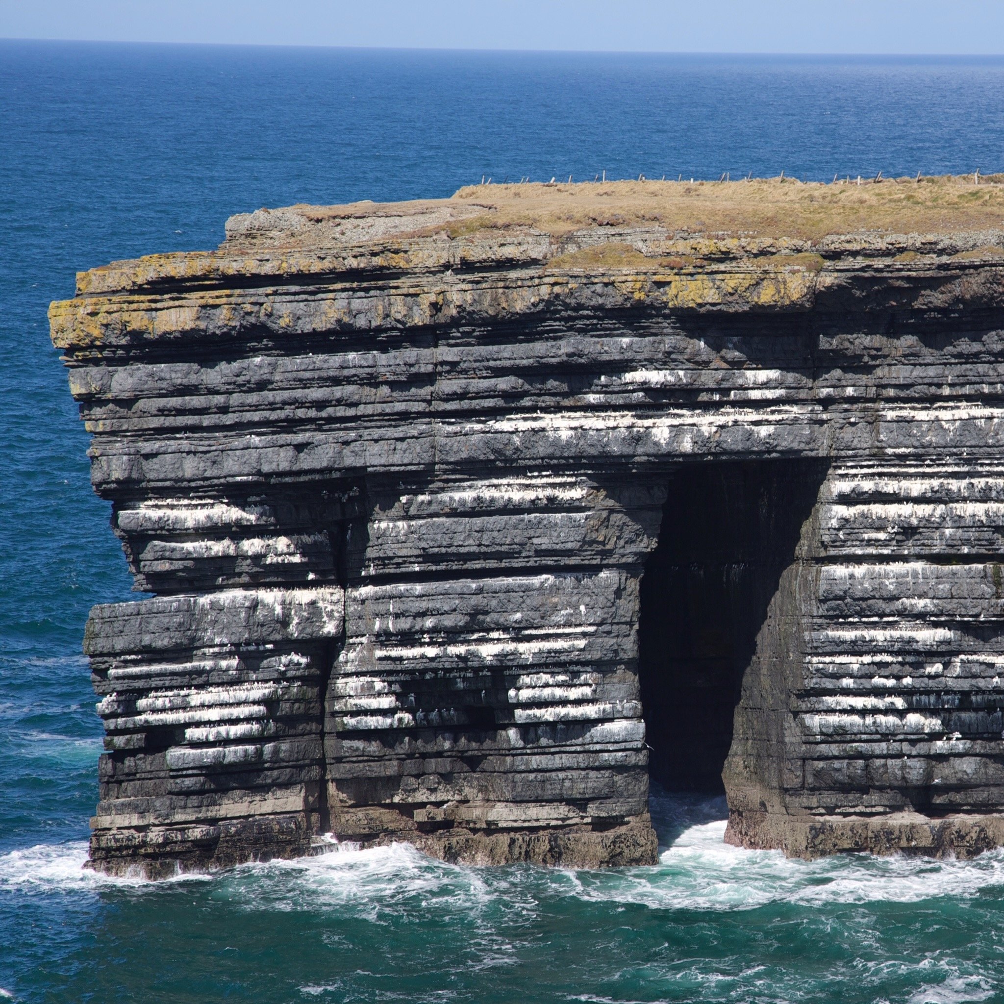
Uppermost slope and shelf edge mass-transport deposits exposed near Tullig Point, County Clare. The sandstones in the back are shelf and incised valley deposits of the deltaic Tullig Cyclothem.
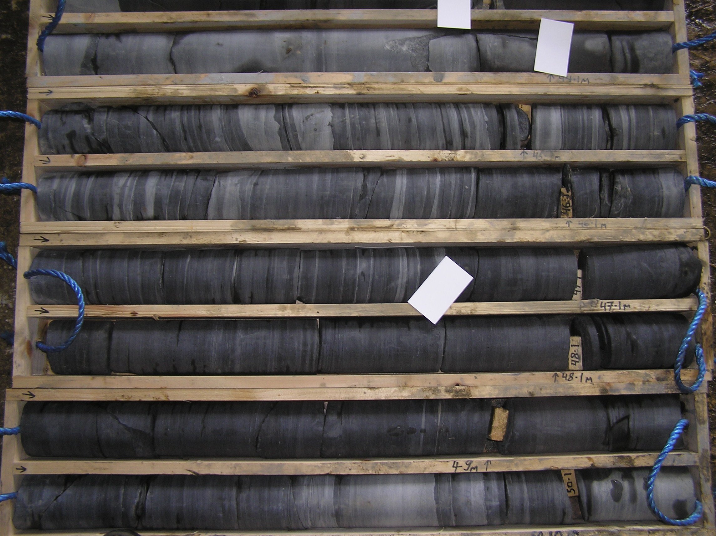
Core and log data from behind-the-outcrop wells are included in the course.